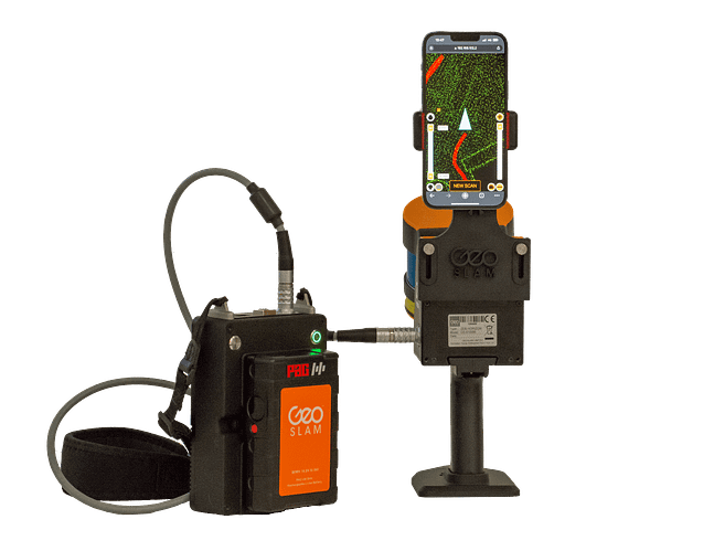
Geo Slam Horizon LiDAR Scanner
A handheld LiDAR scanner, suitable for drone mapping applications as well as indoor use. This powerful tool helps make the mapping process simple. With a range of 100m, the ZEB Horizon is great for outdoor use including spaces where features are positioned further apart.
The ZEB Horizon provides 3D scanning with a survey grade relative accuracy of up to 6mm dependant on the environment. This gives you accurate scans and fine details.
With powerful SLAM technology at its heart, the ZEB Horizon can be used in areas with poor GPS – such as indoors, underground or outdoors.
GeoSlam Volumes Software
Other Software We’re Equipped With:
ARCGIS and GEOCUE LP360, PIX4D Mapper, PIX4D Survey, PIX4D Matic Software
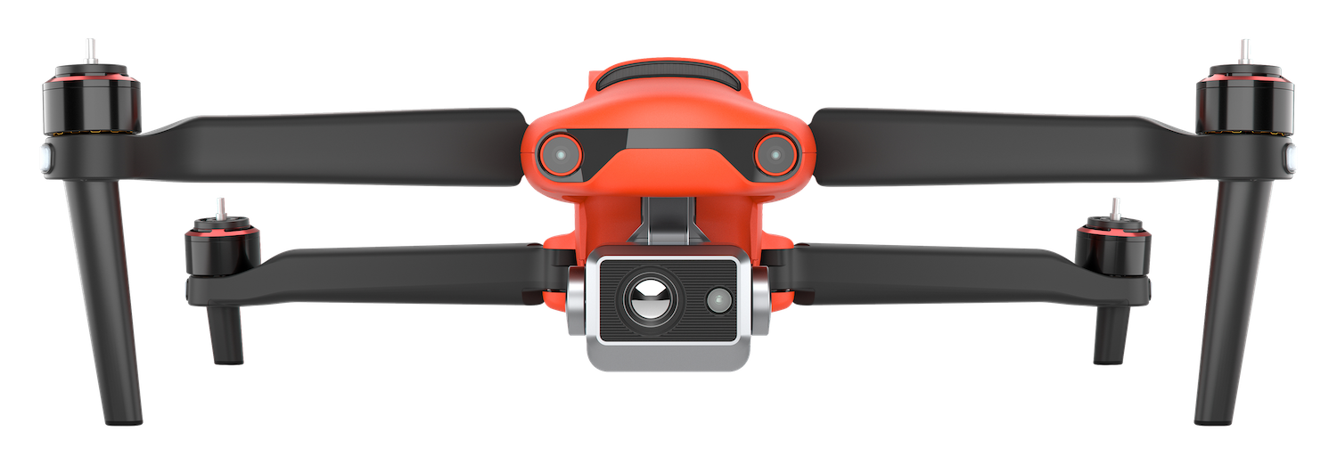
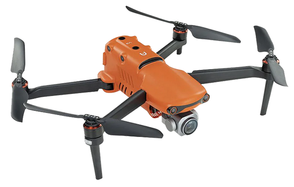
Autel Robotics EVO II Enterprise Drone
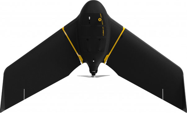
Sensefly Ebee X RTK Drone
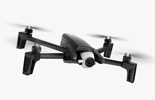
1 Parrot Anafi Drone
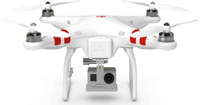
DJI Phantom Drone
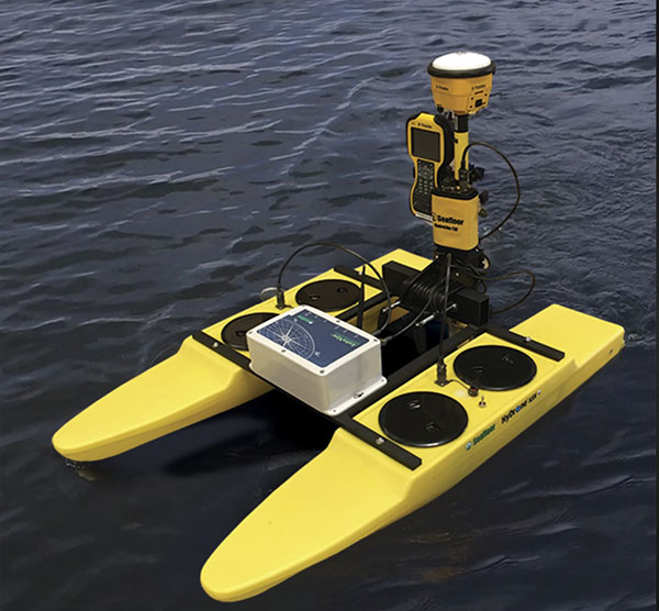
Custom Built Bathymetric Drone Boat
We had this drone boat built for bathymetric surveys (underwater surveying and mapping)
Aerial X can help you with your own drone purchasing:
Interested in obtaining your own drones for your business? Timbercraft can consult on your procurement process and train your staff.
